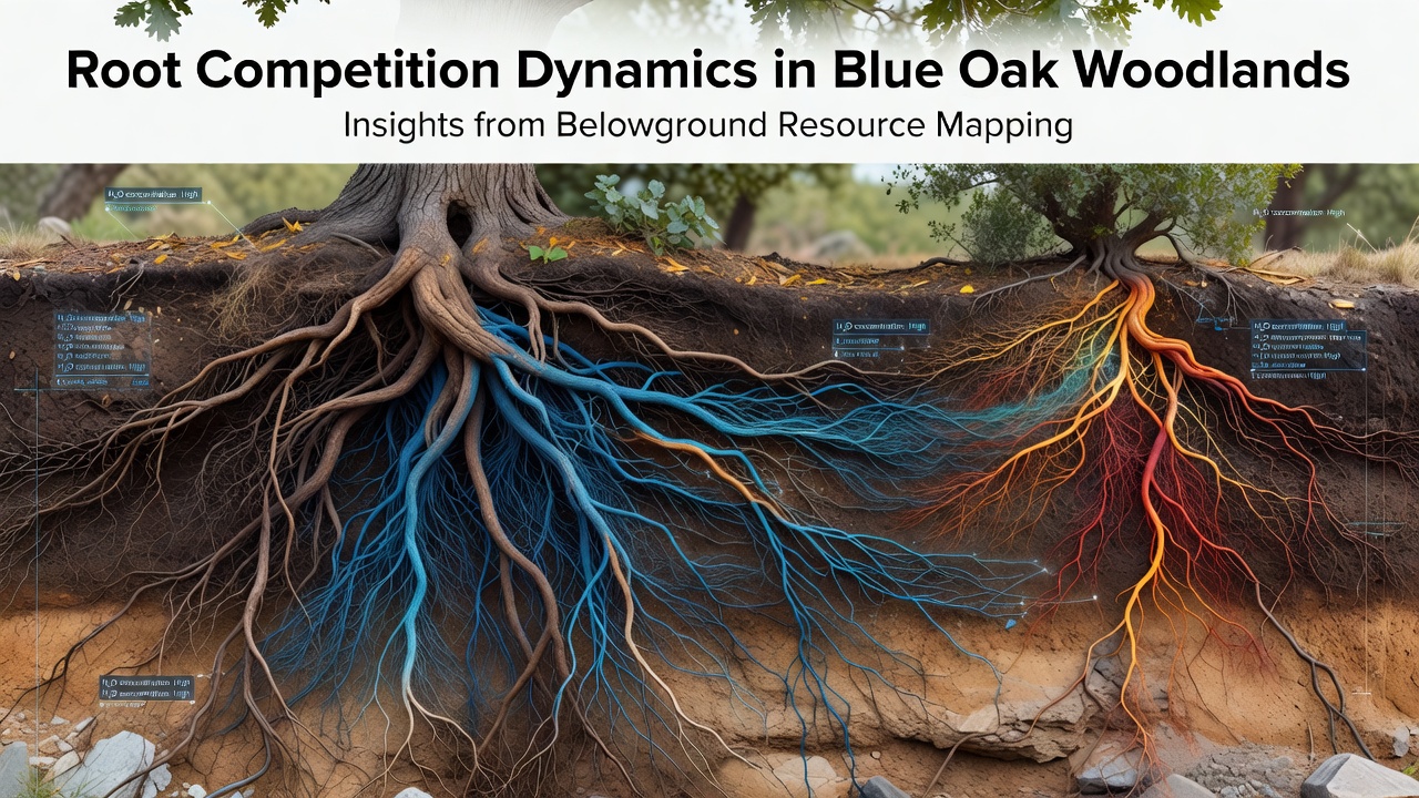
Ellis Jung · 28 October 2026
Root Competition Dynamics in Blue Oak Woodlands: Insights from Belowground Resource Mapping
Blue oak woodlands in California feature complex underground networks where roots compete for water and nutrients in shallow, rocky soils, and researchers have mapped these interactions using ground-penetrating radar along with soil core sampling to reveal spatial patterns of resource allocation. Studies conducted through 2026 continue to track how Quercus douglasii seedlings establish themselves amid established trees, and data from multiple sites show that fine root density increases sharply during spring growth periods before tapering in drier months.
Techniques for Mapping Belowground Resources
Scientists employ a combination of geophysical tools and direct excavation methods to chart root distributions without excessive disturbance, and these approaches allow precise measurement of how root systems overlap in three-dimensional space. Ground-penetrating radar detects larger structural roots at depths up to two meters while electrical resistivity tomography identifies moisture gradients that influence root proliferation, and teams working in the Sierra Nevada foothills have integrated these datasets with GPS coordinates to generate layered maps. One study released in early 2026 by the U.S. Forest Service documented root biomass concentrations around mature blue oaks, revealing that lateral roots extend horizontally for distances exceeding canopy drip lines in many cases.
Patterns of Root Competition Among Blue Oaks
Competition belowground intensifies where soil moisture remains limited, and blue oaks respond by concentrating absorptive roots in pockets of higher nutrient availability rather than spreading evenly. Observers note that neighboring trees often partition resources vertically, with younger individuals directing more growth toward deeper layers while older specimens maintain dense networks near the surface, and this stratification reduces direct overlap during peak drought stress. Data collected across ten monitoring plots indicate that root length density can vary by factors of three to five within a single square meter, depending on proximity to other woody plants and seasonal precipitation totals.
Insights from Recent Field Mapping Efforts
Mapping projects carried out through October 2026 have highlighted how invasive annual grasses alter root competition by rapidly depleting surface moisture, and this forces blue oak roots to explore greater soil volumes for adequate hydration. Researchers at several university field stations combined trench profiling with stable isotope analysis to trace water sources, and results show that established oaks draw from deeper aquifers during summer while seedlings remain dependent on shallower layers until their root systems mature. What's interesting is how these patterns shift after prescribed burns, since reduced understory competition allows oak roots to expand more freely in the first post-fire year.
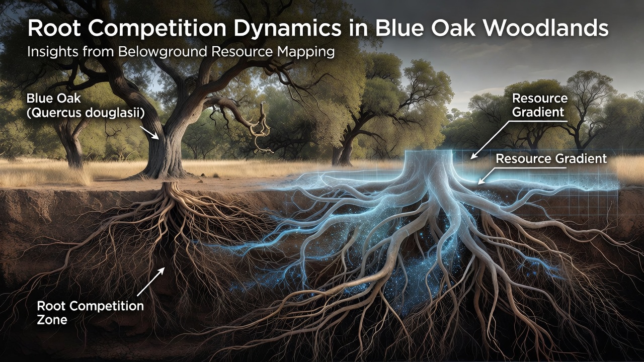
Long-term datasets reveal that blue oak root systems exhibit plasticity in response to neighbor density, and stands with wider tree spacing support more uniform root distributions compared to dense clusters where roots cluster around canopy gaps. European Forest Institute reports on analogous Quercus species in Mediterranean climates provide comparative context, showing similar vertical partitioning strategies that help maintain woodland stability under variable rainfall regimes. Teams have also noted that mycorrhizal associations extend effective root reach, allowing individual trees to access nutrients beyond their physical root boundaries and thereby moderating direct competition.
Implications for Woodland Management
Resource mapping informs thinning prescriptions and restoration planting by identifying zones of high root overlap that may limit seedling survival, and land managers now use these maps to select microsites with lower competition intensity. Data from ongoing California Department of Forestry and Fire Protection initiatives track how mechanical fuel reduction alters belowground dynamics, and preliminary figures from 2026 plots suggest increased root growth in treated areas during the subsequent wet season. Soil moisture sensors installed at multiple depths continue to feed real-time information into models that predict competition outcomes under different climate scenarios.
Conclusion
Belowground resource mapping has clarified the spatial rules governing root competition in blue oak woodlands, and continued data collection through late 2026 supports refined models of how these ecosystems respond to drought and management interventions. The integration of geophysical surveys with traditional sampling methods provides repeatable ways to monitor changes over time, and such information guides decisions that maintain woodland structure while accounting for underground resource constraints.